Institut Cartogràfic i Geològic de Catalunya
About Institut Cartogràfic i Geològic de Catalunya
Institut Cartogràfic i Geològic de Catalunya (ICGC) has been created in 2014 and belongs to the Department of Territory and Sustainability of the Government of Catalonia. The ICGC sum-up the legacies of the former cartographic and geological agencies, both created in 1982. The ICGC has a staff around 270 people and is a beginning-to-end cartographic and geological institution comprising:
- Data acquisition; Processing capabilities (geodetics, aerial triangulation, photogrammetry, orthoimage, remote sensing, cartography);
- Technical support to Land and urban planning
- Geological hazards assessment and prevention.
The ICGC is the official Catalan Geoinformation Agency. ICGC is a public body that provides rigorous and quality information on the territory to address the challenges of our society such as climate change, risk and natural resource management, sustainable development or energy transition.
Area of Earth Observation is specialized in remote sensing, starting with the image processing of the satellite and airborne images, designing and manipulation data and capture requirements, programming and customizing the required applications for the customer and integrating it at the customer field, as a capacity building added value.
ICGC and SCARBOn
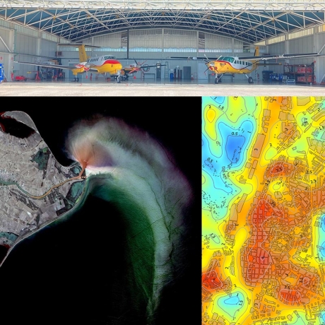
In the SCARBOn project, ICGC contributes with its expertise in geospatial technologies. The institute conducts the airborne demonstration campaign. This involves deploying aircraft equipped with the NanoCarb-P instrument, obtaining flight permits, and creating a flight plan based on scientific and demonstration goals. During the main flight campaign, the ICGC will provide daily briefings and adjust the schedule based on weather forecasts and sensor performance, with support from other consortium members.
